![]() https://ebird.org/wi/hotspot/L711582
https://ebird.org/wi/hotspot/L711582
Habitat: Bottomland Hardwoods, Open Water, Cropland, Willow, Alder or Dogwood Swamp.
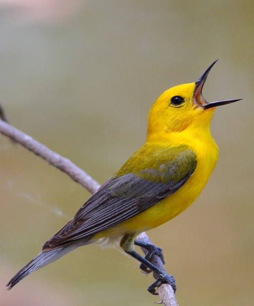
Best Birds: Paddling the Sugar River or traversing the area on foot has turned up bottomland birds such as Yellow-billed Cuckoo, Red-shouldered Hawk, Prothonotary Warbler, and North Parula.
Directions: 39 miles S of Madison. To explore this area on foot, from Brodhead travel south on County Hwy T for 3.7 miles to the gravel parking lot (42.554762, -89.366528) on the west side of the road. By boat, from Brodhead travel 2 miles west on Highway 11 to Mt Hope Rd. Turn left onto Mt Hope Rd and Clarence Bridge Park (42.586012, -89.406367) is on the left. The landing is six miles downstream on Beloit Newark Road, (42.54265, -89.34132).
Site Address & Additional Information:
County Hwy T, Brodhead WI
Boat Launch, Clarence Bridge Park: 2320 My Hope Rd., Brodhead WI, 42.586012, -89.406367
Boat Landing, 17305 W Beloit Newark Rd, Brodhead WI, 42.54265, -89.34132
Avon Bottoms Wildlife Area | Wisconsin DNR
Most of Avon Bottoms is within Rock County but this northwest-most portion is in Green County.
Quentin Yoerger