![]() Erickson Creek , Douglas County, WI, US - eBird Hotspot
Erickson Creek , Douglas County, WI, US - eBird Hotspot
Habitats: Muskeg/Conifer Bog, Sedge Meadow, Boreal Forest, Cedar Swamp, Northern Hardwood Forest, Mixed Coniferous Forest.
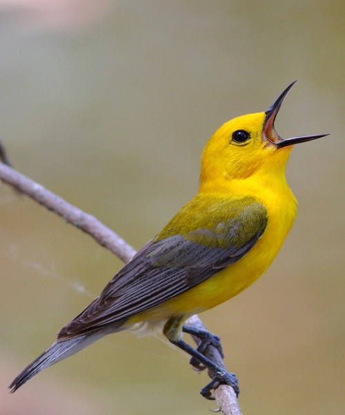
Best Birds: Breeding birds recorded here include Red-shouldered Hawk, Common Nighthawk, Eastern Whip-poor-will, American Woodcock, Northern Saw Whet Owl, Black-backed Woodpecker, Olive-Sided Flycatcher, Alder Flycatcher, Blue-headed Vireo, Canada Jay, Golden-crowned Kinglet, Boreal Chickadee, Winter Wren, Swainson’s and Hermit Thrush, Purple Finch, Red Crossbill, Lincoln’s and LeConte’s Sparrow and a great variety of warbler including Cape May.
Directions: 25 miles south of Superior. On Hwy 53 about 6 miles north of Solon Springs go west on County Hwy L about 6.5 miles to South Lyman Lake Rd., then southwest about 1.6 miles to Lucas Road. To access the northern end of the SNA so south 0.1 miles to Oliphant Road, then west about 1 mile to the junction with West Lyman Lake Road, (46.44912, -92.00345). This is good habitat along Oliphant. Continue west along West Lyman Lake Road, 1.25 miles to its end. Alternatively, head south on Lucas Road, then Erickson Creek Cut-Across to Erickson Creek Road(46.41728, -92.02523). Erickson Creek Road meanders through the southern end of the SNA. For the more adventurous, if water levels are high enough put a canoe in at the end of Erickson Creek Road however you will need a 4WD and high ground clearance for the last 0.1 mile.(46.42143, -92.04533) and paddle 3 miles downstream to the Amnicon River then another 0.75 miles east to a pull-out near the end of W Lyman Lake Road (46.45460, -92.02776).
Site Address and Additional Information:
Erickson Creek Road, South Range WI
Ericson Creek Forest & Wetlands State Natural Area - Wisconsin DNR
Ericson Creek forms the western boundary of the area before joining the Amnicon River. An extensive sedge meadow parallels the creek and small pockets of cedar swamp are located along the eastern boundary. The primary feature is the 500-acre open Sphagnum bog and associated muskeg of tamarack and black spruce. Imbedded in the wetland are upland islands containing boreal forest of white spruce and balsam fir and forest dominated by red and white pines. The southern portion of the area contains hardwood forest of sugar maple, basswood and red oak.
Carl Schroeder