![]() Upham Road/MM/Monroe Road River Bottoms, Dodge County, WI, US - eBird Hotspot
Upham Road/MM/Monroe Road River Bottoms, Dodge County, WI, US - eBird Hotspot
Habitats: Open Water, Mudflats, Marsh, Sedge Meadow, Bottomland Forest, Willow, Alder or Dogwood Swamp, Successional Oldfields, and Cropland
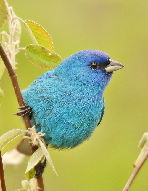
Best Birds: This area, known locally, as the Rock River Ramble, loosely follows the meandering course of the Rock River in Jefferson and Dodge counties. March, April and May when the Rock River overflows its banks is the best time to view hundreds of migrating diving and dabbling ducks and geese, including Greater White-fronted Goose, Snow Goose and often Tundra and Trumpeter Swan. Check the flooded ditches and sedge meadows for migrating shorebirds, particularly Wilson’s Snipe. Warblers migrate along the river in May. Rusty Blackbird can be found during spring and fall migration. Bobolink, Eastern Meadowlark and Savannah Sparrow can be seen in the fields. Prothonotary Warbler nest in cavities in the bottomland Forests by the river. Other breeding birds include Bald Eagle, Red-tailed Hawk, Cooper’s Hawk, Barred Owl and Great-horned Owl, Pileated Woodpecker, Eastern Kingbird, Willow Flycatcher, Warbling Vireo, Song Sparrow, Yellow Warbler, Common Yellowthroat, American Redstart. Winter months can produce Horned Lark and Snow Bunting in farm fields as well as the occasional Rough-legged Hawk. Watch for American Kestrel on the wires.
Directions: This north segment of the Ramble is bordered by County Hwy CW at the south end to Hwy MM on the north. If you are continuing from the Jefferson County segment of the Ramble proceed to Hwy CW. Turn north on Wiley Rd. Continue driving north 1.4 miles to Morningside Rd. At the top of the hill go west on Morningside 0.3 miles to where open water appears. Return to Wiley Rd. Turn north on Wiley and continue to Hwy O. Go east 0.2 miles to Poplar Grove Rd and then north one mile to Upham Road, checking the flooded fields along the way. On Upham Road to the east scan for waterfowl when flooded. (Upham Road may be closed due to high water). Continue on Upham Rd to Hwy MM, turn east, cross over the Rock River and continue .4 mile to a large open area. Park along the shoulder to view abundant waterfowl on both sides of the road in early spring. Next head south on Monroe Road past the farmlands to the river and forest. In high water years, the lower section of Monroe Road will be closed due to flooding. If the road is open, continue birding for the next three miles. Exit Monroe at Hwy EE where it converges with Hwy 67. If Monroe is closed there will be a Road Closed Ahead sign and a gate will bar entry. You will then need to backtrack and exit the area by way of Lafollette Rd which will take you back to County Road EE.
South of this area there is a worthwhile stop at Harnischfeger Park on the Rock River at W. Crawfish Road west of Ashippun.
Address and Additional Information:
Upham Road,
Hwy MM River Crossing,
Monroe Road,
Anne Moretti